Wingertsbergwand
Mendig
Like in a picture book, the different layers of ash show the exact history of those dramatic 10 days around 12,000 years ago. Using the vegetation finds under the tuff and pumice deposits, scientists were able to reconstruct what the Eastern Eifel looked like before the catastrophe. At that time, oaks, lime trees, pines, willows and hazelnut bushes grew in the Eastern Eifel. The climate was humid and cool, similar to that in central Sweden today. It obviously only took a few seconds, in which the originally idyllic landscape was destroyed by a devastating pressure wave.
Strangely enough, the archaeologists have only found abandoned camps of the Ice Age hunters who lived in the East Eifel at that time. There are no bone finds from buried people. It can be assumed that the people living in the Eastern Eifel had enough time to escape the later inferno due to natural changes in their living environment.
Again and again the unleashed volcano spat out new material. You can recognize the individual phases precisely by the density and color of the material in the open flank of the Wingertsberg. In the last phase of the eruption, minerals, including the world-famous Hauyn, were brought to light from the lower part of the magma chamber. After the earth had calmed down again, grass (and wine> Wingertsberg) in the truest sense of the word grew over history for almost 12,000 years, just as long until the excavators came ...
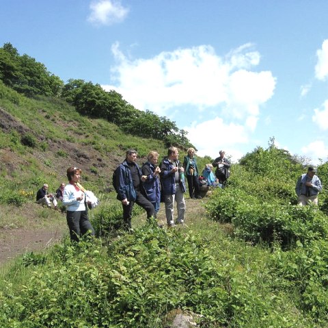
The way to the Wingertsbergwand is signposted from Mendig.
It leads over a small bridge over the A 61 motorway and continues on an undulating road to the western entrance of the Michels quarry. Keep to the left (west) of the mining site and then follow the signs to the right to a car park near the Wingertsbergwand.


